
Chicago covers 234.5 square miles and holds close to 2.7 million people within its official city limits.
That’s the short answer. But if you’ve ever tried to walk from one end of the city to the other, you already know that a number on a page doesn’t capture what “big” actually feels like here.
This guide breaks down exactly how Chicago measures up, from its lakefront and street grid to its neighborhoods, transit system, and skyline. By the end, you’ll understand why people call it a “big” city for reasons that go way beyond square footage.
Chicago’s Geographic Location and Natural Setting
Chicago sits on the southwestern shore of Lake Michigan, one of the five Great Lakes that make up the largest freshwater system on the planet.
That single fact shaped almost everything about the city. Its weather, its trade routes, its transportation networks, and even its street layout all trace back to that lakefront position.
Sitting in the heart of the Midwest, Chicago turned into a natural meeting point for railroads, waterways, and highways linking the eastern and western halves of the country. That’s not an accident of geography. It’s the reason the city grew as fast as it did.
Geographic Coordinates
| Detail | Value |
| Latitude | 41.8781° N |
| Longitude | 87.6298° W |
| Elevation | ~594 feet above sea level |
| Region | Midwestern United States |
These coordinates put Chicago close to major trade corridors connecting the Atlantic Ocean, the Mississippi River basin, and the Great Lakes system.
Why the Location Matters
Chicago’s spot on the map handed it serious economic muscle during the 1800s. Ships hauled goods across Lake Michigan, railroads pushed cargo inland, and canals tied the Chicago River into the Mississippi watershed.
That combination is part of why the city earned the nickname “Second City,” though historians disagree on the exact origin. Some tie it to Chicago’s rapid rebuild after the 1871 fire, others to its historic ranking behind New York in population.
The “Windy City” nickname carries a similar debate. Some say it’s about lakefront breezes, others point to 19th-century Chicago politicians who were, let’s say, long-winded. Nobody has fully settled it, but both nicknames stuck for good reason.
Climate and Weather Patterns
Chicago’s closeness to Lake Michigan drives most of its weather swings, including the wind gusts the city is famous for.
| Season | Characteristics |
| Winter | Average lows near 18°F, with heavy lake-effect snow |
| Spring | Unpredictable, swinging fast between warm afternoons and chilly lake breezes |
| Summer | Highs around 85°F with humidity and pop-up thunderstorms |
| Fall | Cooling temperatures with occasional warm stretches before winter sets in |
Neighborhoods right along the water tend to run cooler in summer and a touch warmer in winter compared to inland parts of the city. That’s the lake acting like a giant temperature regulator.
These patterns didn’t just shape what people wear. They shaped how the city built its parks, trails, and public spaces along the waterfront.
ALSO READ:10 Ounces Explained: 20 Everyday Things That Weigh 10 Ounces
How Big Is Chicago in Square Miles?
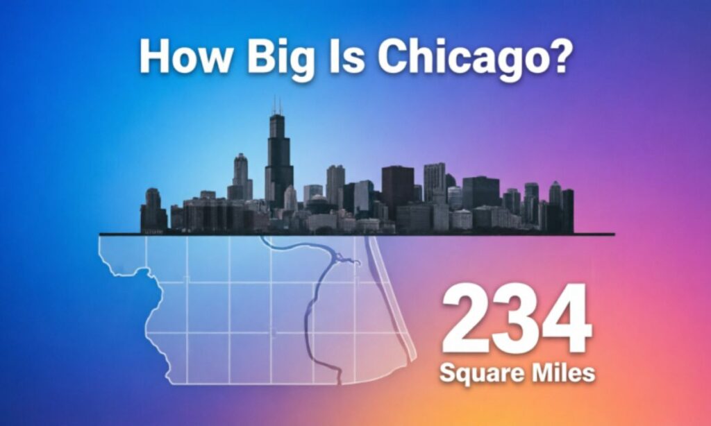
Chicago’s total footprint runs bigger than most people expect for a Midwestern city.
Total Area of Chicago
| Category | Size |
| Total Area | 234.5 square miles |
| Land Area | 227.7 square miles |
| Water Area | 6.8 square miles |
That land area actually beats Paris, which covers around 41 square miles. It’s still smaller than Los Angeles, which sprawls past 500 square miles.
Chicago’s Physical Dimensions
| Direction | Approximate Distance |
| North to South | ~26 miles |
| East to West | ~14 miles |
The shape matters here. Chicago stretches like a long ribbon running north-south along the lake, rather than spreading out evenly in every direction.
What the Numbers Mean in Real Life
Walking from the city’s northern edge to its southern boundary would take close to nine hours straight, with no stops.
Driving that same stretch during rush hour can eat up 90 minutes or more, even though the city isn’t the biggest by land area among major U.S. cities. The density and the grid layout make the distance feel longer than the map suggests.
So while Chicago doesn’t top the size charts, it still delivers that “wow, this city is massive” feeling once you’re actually navigating it on foot or by car.
Chicago’s Natural Borders and Waterfront
Few American cities can match Chicago’s relationship with its waterfront.
Lake Michigan: The City’s Eastern Edge
Lake Michigan forms the entire eastern boundary of the city, holding roughly 1,180 cubic miles of water. For most Chicagoans, it functions like a personal ocean, complete with beaches, waves, and horizon views.
Key Facts About Lake Michigan
| Feature | Statistic |
| Surface Area | 22,400 square miles |
| Maximum Depth | 923 feet |
| Shoreline Length | 1,640 miles |
| Chicago Lakefront | ~26 miles |
The lakefront isn’t just scenery. It’s packed with public beaches, waterfront trails, marinas, and parks that locals actually use year-round, not just in summer.
Chicago River: Engineering Marvel
The Chicago River flows straight through downtown, and its backstory is one of the wildest engineering stories in American history. It originally drained into Lake Michigan, which created serious sanitation problems as the city grew.
In 1900, engineers pulled off one of the most ambitious projects of the era: they reversed the river’s flow entirely. That single move protected the city’s drinking water supply for good.
Key Facts About the Chicago River
| Feature | Detail |
| Length | ~156 miles including branches |
| Historic Project | River reversal in 1900 |
| Engineering Impact | Major sanitation breakthrough |
Today the river is lined with Riverwalk restaurants, kayak rental spots, and architecture boat tours that show off the skyline from water level.
Chicago’s Street Grid and Urban Layout
Chicago’s grid system is one of the reasons the city feels manageable despite its size.
How the Grid Works
Streets run north-south and east-west, with the center point sitting at State Street and Madison Street downtown. Every address ties back to a distance from that intersection.
| Distance | Measurement |
| 800 address numbers | 1 mile |
| 8 city blocks | ~1 mile |
That means an address like “1600 North” tells you it’s roughly two miles north of Madison, no GPS required. Urban planners regularly point to this system as one of the most efficient grid designs in North America, and locals use it constantly to judge distance on the fly.
Chicago Population and Urban Density
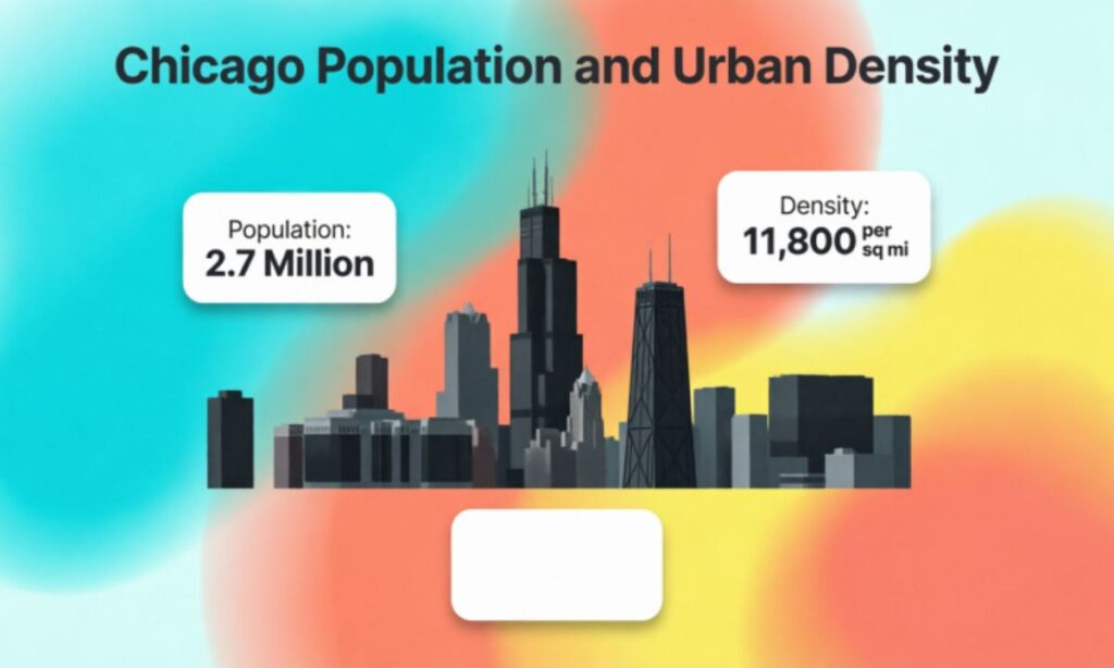
Chicago holds its spot as the third-largest city in the U.S. by population.
Population Statistics
| Category | Number |
| Population (2024 estimate) | ~2.7 million |
| Metropolitan Area | ~9.5 million |
| Rank in U.S. | Third largest city |
Population Density
| Metric | Value |
| People per square mile | ~11,800 |
| Densest area | Downtown Loop |
| Lowest density | Outer neighborhoods |
The Loop turns into one of the busiest patches of real estate in the country on a weekday morning. Head a few miles out, though, and you’ll find quiet residential blocks, tree-lined parks, and historic homes that feel worlds away from downtown.
That contrast between packed downtown blocks and calmer outer neighborhoods is a huge part of what gives Chicago its personality.
Chicago’s 77 Community Areas
Chicago officially splits into 77 community areas, which most people just call neighborhoods.
Why Community Areas Matter
These divisions aren’t just for maps. Cities use them for planning, census data, and local governance, and each one develops its own identity over decades.
Walking from one community area into the next can genuinely feel like crossing into a different city, with its own food, architecture, and history.
Example Community Areas
| Area | Known For |
| Lincoln Park | Lakefront parks and historic homes |
| Hyde Park | University of Chicago and academic life |
| Pilsen | Latino arts scene and murals |
| Bronzeville | Jazz history and Black cultural heritage |
Together, these 77 areas form a mosaic that makes Chicago feel like dozens of smaller cities stitched into one.
Chicago Compared With Major U.S. Cities
Size Comparison
| City | Land Area |
| Chicago | 227 square miles |
| New York City | 302 square miles |
| Los Angeles | 503 square miles |
| Boston | 48 square miles |
Chicago lands right in the middle of that pack, but it beats most of these cities on population density, which is why it never feels sparse or spread thin the way some larger cities do.
Chicago Compared With Global Cities
| Global City | Land Area |
| Chicago | 227 sq miles |
| Paris | 41 sq miles |
| London | 607 sq miles |
London’s metro footprint dwarfs Chicago’s, but Chicago’s downtown skyline still ranks among the most recognizable in the world, tall buildings packed into a smaller, denser core.
Transportation and Getting Across Chicago
Moving across 234 square miles requires serious infrastructure, and Chicago built one of the most extensive transit systems in North America to handle it.
Public Transportation System
The system runs on a few major pillars working together.
● CTA L trains – rapid transit across the city
● Metra – regional commuter rail into the suburbs
● Bus routes – over 100 lines citywide
● Divvy bikes – thousands of rental bikes for short trips
Chicago Transit Facts
| System | Coverage |
| CTA L Trains | Rapid transit across the city |
| Metra | Regional commuter rail |
| Bus Routes | Over 100 lines |
| Divvy Bikes | Thousands of rental bikes |
Plenty of residents skip cars entirely and commute by train, especially into the Loop, where parking gets expensive fast.
Major Airports
| Airport | Role |
| O’Hare Airport | One of the world’s busiest airports |
| Midway Airport | Domestic travel hub |
O’Hare connects Chicago to destinations across six continents, which is a big part of why the city functions as a global business hub, not just a regional one.
Chicago’s Historic Growth and the Great Chicago Fire
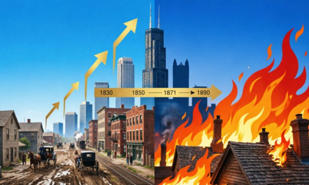
The Great Chicago Fire of 1871
In October 1871, a massive fire tore through the city and reshaped its future.
The blaze destroyed roughly 3.3 square miles of urban area and around 17,000 buildings, leaving an estimated 100,000 residents homeless. It’s one of the most devastating disasters in American urban history.
But the rebuild afterward turned into a turning point. Architects introduced steel-frame construction that let buildings rise taller than anything built before the fire.
Chicago and the Birth of the Skyscraper
Architects like Louis Sullivan led that shift toward vertical building design, and within a few decades, the skyline transformed completely.
The Home Insurance Building, finished in 1885, is widely credited as the world’s first true steel-framed skyscraper. Today, visitors standing on the Skydeck can see four states on a clear day, a direct result of that architectural leap forward.
Healthcare Systems and Major Hospitals
Chicago runs one of the strongest healthcare networks in the Midwest, blending major hospitals with university-backed research programs.
| Hospital / Network | Specialties | University Affiliation |
| Northwestern Memorial Hospital | Cardiology, neurology, trauma | Northwestern University |
| University of Chicago Medical Center | Oncology, organ transplant | University of Chicago |
| Rush University Medical Center | Orthopedics, rehabilitation | Rush University |
| Lurie Children’s Hospital | Pediatrics, rare diseases | Multiple local universities |
| Advocate Christ Medical Center | Cardiac care, emergency medicine | Regional healthcare network |
These institutions pull patients from across the region and beyond, combining top-tier patient care with active medical research.
Famous Landmarks That Define Chicago’s Scale
Willis Tower
| Feature | Statistic |
| Height | 1,450 feet |
| Floors | 110 |
| Observation Deck | Skydeck |
The Skydeck’s glass ledge lets visitors step out over the city more than 1,300 feet above the street, and that view alone makes Chicago’s scale click instantly.
Millennium Park
Millennium Park is home to Cloud Gate, better known as “The Bean,” where crowds gather daily to snap photos of the mirrored skyline reflection.
Navy Pier
Navy Pier draws millions of visitors a year with its Ferris wheel, museums, restaurants, and boat tours along the lakefront.
Magnificent Mile
The Magnificent Mile stretch of Michigan Avenue delivers luxury shopping, flagship stores, and upscale dining, right next to the gallery-filled River North neighborhood.
Accommodation and Tourism Infrastructure
Chicago’s hospitality scene handles millions of visitors a year without missing a beat.
| Feature | Highlight |
| Hotel Capacity | Over 120,000 rooms across downtown and suburbs |
| Convention Centers | McCormick Place, the largest in North America |
| Walkable Districts | Loop, River North, Magnificent Mile |
| Waterfront Access | Lakefront hotels with skyline views |
| Tourist Activities | Festivals, architecture cruises, Riverwalk, sports events |
Between the walkable downtown core and solid public transit, most visitors get around without ever needing to rent a car.
Chicago’s Academic Influence
University of Chicago
Located in Hyde Park, the University of Chicago holds a reputation as a global research powerhouse, with dozens of Nobel Prize winners tied to the school and standout programs in economics, law, and public policy.
Northwestern University
Just north in Evanston, Northwestern built its name on strong law and journalism programs, along with advanced medical research that feeds directly into the city’s hospital network.
Chicago’s Cultural Scene
Art Institute of Chicago
The Art Institute ranks among the top art museums worldwide, housing everything from Impressionist paintings to the iconic American Gothic, plus deep Asian and African art collections.
Music and Performing Arts
Chicago helped shape jazz, blues, and house music, and legendary venues across the city still book live shows almost every night of the week.
Food Culture: Deep Dish Pizza and More
Deep Dish Pizza
Chicago’s signature dish stacks a thick, buttery crust, layers of cheese, and chunky tomato sauce on top, more like a savory pie than a typical slice. Spots like Pizzeria Uno helped turn this style into a worldwide export.
Other Iconic Dishes
● Chicago-style hot dogs
● Italian beef sandwiches
● Garrett popcorn
Together, these dishes are as much a part of Chicago’s identity as its skyline.
Fun Facts About Chicago
● The skyscraper started here — the Home Insurance Building (1885) is considered the first steel-framed skyscraper in the world.
● Hidden beaches everywhere — beyond the famous downtown shoreline, Chicago has over 15 public beaches along Lake Michigan.
● A city built on bridges — Chicago has more movable bridges than any other city on Earth, with over 50 spanning the river.
Why Chicago Feels Larger Than Its Size
Chicago’s square mileage only tells part of the story. A few things push the “big city” feeling way past what the map shows:
● A massive metro population feeding into daily city life
● O’Hare’s connections to cities across six continents
● Global finance and commerce running through the Loop
● World-class museums, universities, and architecture packed into a dense core
Key Facts About Chicago at a Glance
| Feature | Statistic |
| Total Area | 234.5 square miles |
| Population | ~2.7 million |
| Metro Population | ~9.5 million |
| Lakefront | ~26 miles |
| Community Areas | 77 |
| Population Density | ~11,800 per square mile |
Take the Chicago Challenge
Think you know Chicago? Test yourself before you scroll down.
1. How many official community areas does Chicago have?
2. Which landmark lets you see four states on a clear day?
3. What Chicago dish is famous for its thick crust and chunky sauce?
Answers: 77 community areas | Willis Tower Skydeck | Deep Dish Pizza
Drop your score in the comments, or tell us which Chicago neighborhood you’d move to if you had the choice.